
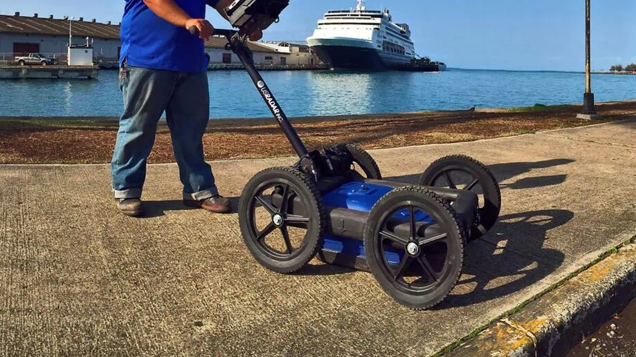
GPR Data Analysis Explained: How to Interpret Ground Penetrating Radar Results Accurately
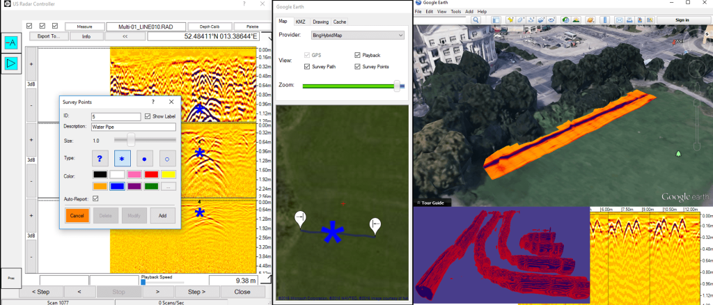
Ground penetrating radar (GPR) allows professionals to see below the surface without digging. But collecting scans is only part of the job. The value of a GPR survey lies in how well you analyze the results. Clear GPR data analysis helps turn noisy signals into real answers, answers that guide engineers, archaeologists, and construction crews. […]
Ground Penetrating Radar Services: What They Include and When You Need Them
Ground penetrating radar services (GPR) are one of the top methods for testing without causing damage. Whether it’s for big construction projects, assessing concrete structures, or performing underground utility mapping, GPR offers a clear picture, quick results, and keeps things safe. GPR is in use across many industries, helping reduce potential risks, increase efficiency, save […]
Ground Penetrating Radar Scanning: How and When to Use It
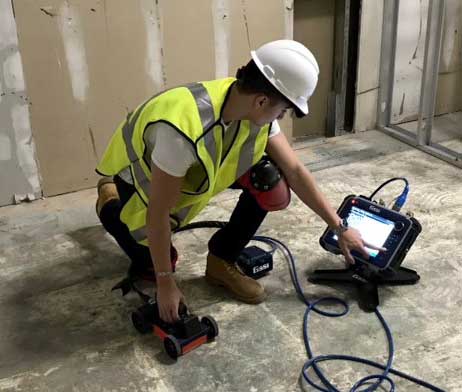
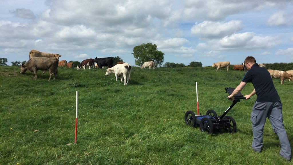
Ground penetrating radar scanning gives you a clear look below the surface without digging or drilling. It helps locate underground utilities, detect underground storage tanks, and find subsurface contamination or hidden structural elements. It’s a simple yet powerful tool for construction projects, archaeology, environmental studies, engineering, and more. This guide explains how ground penetrating radar […]
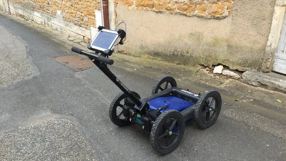
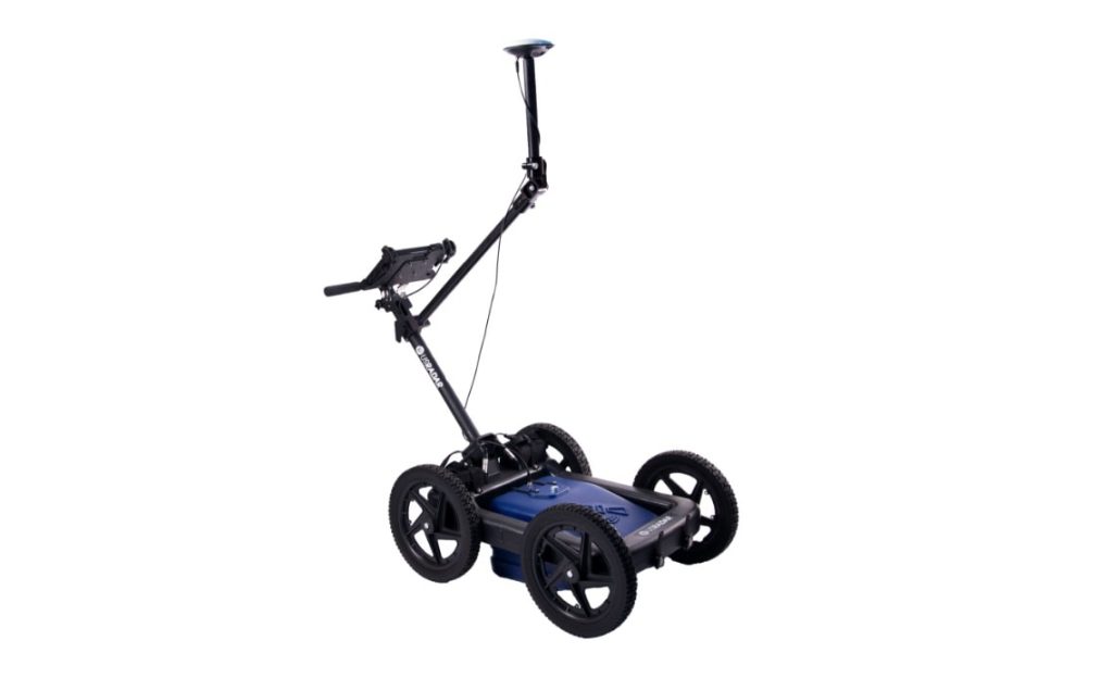
Revolutionize Your Projects with the Best Concrete Scanner Available
Choosing the Right GPR Concrete Scanner: What Every Contractor, Engineer, and Project Manager Needs to Know In construction and renovation, understanding what’s beneath the concrete slab can mean the difference between a successful project and a costly mistake. Whether you’re drilling, cutting, or coring, it’s crucial to accurately locate embedded objects like rebar, post tension […]
Building on Solid Ground: The Essential Role of Bedrock Maps and GPR Technology
Every successful geophysical or construction project begins with a detailed understanding of what lies beneath the surface. Just like in Minecraft Bedrock Edition or Java Edition, where knowing your exact coordinates, biomes, and terrain features is vital for survival and exploration, bedrock maps are essential tools in the real world. These maps, closely mirroring the […]
What is Ground Penetrating Radar (GPR)? Definition & How it Works
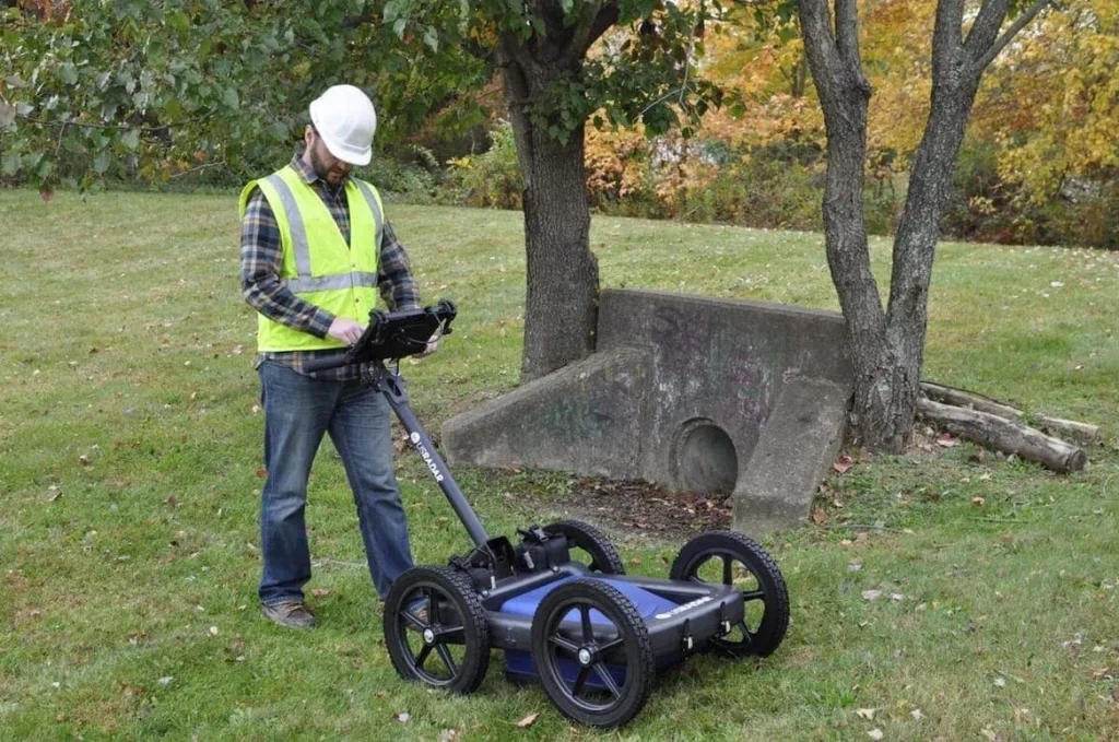
Ground penetrating radar (GPR) is a geophysical technology that uses radar pulses to visualize and map subsurface features. It allows for non-destructive investigation of what lies beneath the ground’s surface, making it an invaluable tool in various industries, including construction, archaeology, law enforcement, and geology. This article will delve deeper into GPR technology, explore its uses and benefits, […]
How to Detect Environmental Hazards With GPR

Surveying for environmental hazards is a critical step in many […]
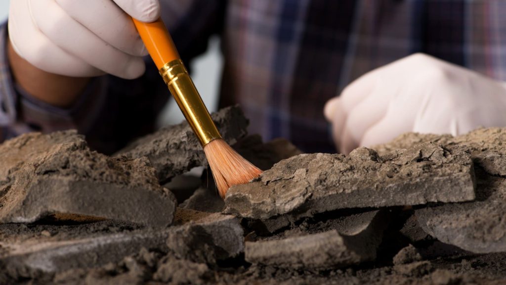
7 Cemetery Mapping Challenges (And How GPR Can Help)

In 2020, researchers at Clemson University were busy figuring out […]
What Is Cemetery Mapping?

Cemetery mapping refers to the act of understanding the layout […]
How GPR Technology Works in Archaeological Surveys
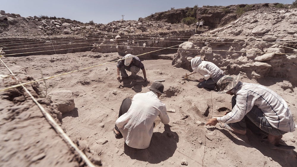
Archeologists have successfully excavated countless survey sites for hundreds […]
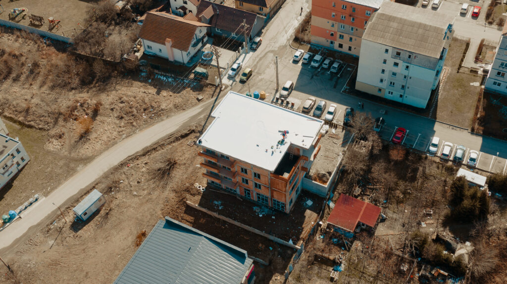
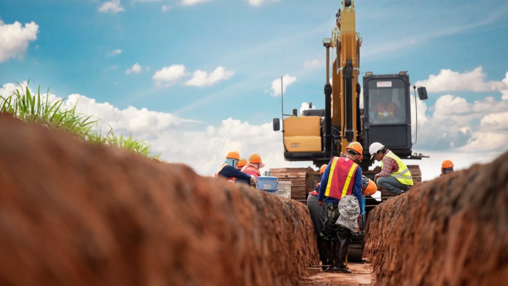
9 Benefits of Ground Penetrating Radar for Construction Projects
For construction planning, knowing the precise location of underground utilities […]
5 Surprising Uses for Ground-Penetrating Radar
If you’re already familiar with ground-penetrating radar, or GPR, the […]
What Is Utility Mapping? (and How GPR Helps)
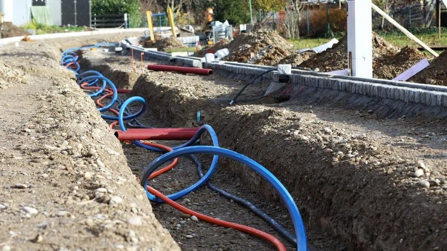
Utility mapping is the process of identifying and documenting where […]
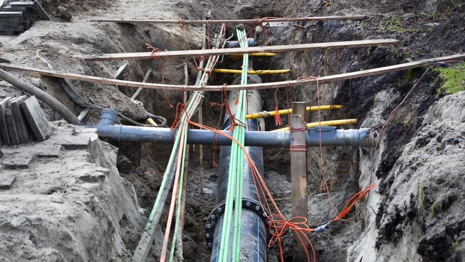
How to Find Underground Pipes with GPR: A Complete Guide for Accurate Utility Locating
Without the right information and tools, locating and mapping underground […]
What Are the Benefits of Ground-Penetrating Radar?
Ground-penetrating radar, commonly referred to as GPR, is a type […]
How To Locate Buried Objects With Ground Penetrating Radar
Without the right tools, locating a buried object is a […]
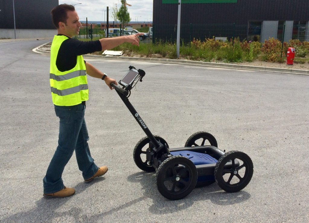
What Is the Effective Depth of Ground Penetrating Radar?
How deep does GPR go? This is one of the […]
How Does 3D Subsurface Imaging Radar Work?
Ground-penetrating radar, or GPR, is a powerful and effective way […]
What Can You Detect With Ground Penetrating Radar?
Ground penetrating radar is a non-invasive technology used to survey […]
How Should I Set Up a Ground Penetrating Radar (GPR) Survey
When it comes to surveying in a non-destructive manner, ground-penetrating […]
What Is a GPR Survey and Why Is It Used?
A GPR survey uses ground-penetrating radar technology to understand what’s […]
How Much Does Ground Penetrating Radar Cost?

Most people who need ground penetrating radar equipment know it’s […]
What to Expect with a GPR Survey
GPR surveys offer many benefits and can be useful in […]
How Accurate Is Ground Penetrating Radar?
Most types of radar are used to detect objects like […]
What Are Ground Penetrating Radar Systems?
If you’ve been searching for a way to accurately assess […]
How Does Ground Penetrating Radar (GPR) Work?
Ground-penetrating radar, or GPR, is a method of surveying subsurface […]
GPR Rental
GPR Rental – Should You Rent or Buy a […]
Multi Freq vs Single Freq GPR
Multi Frequency GPR vs Single Frequency – Which is […]
GPR In House
Is it Time to Bring GPR in House? […]
US Radar Statement on COVID-19 (Coronavirus)
US Radar Inc. Statement on Coronavirus (COVID-19) Pandemic […]
How Deep Does GPR Go?
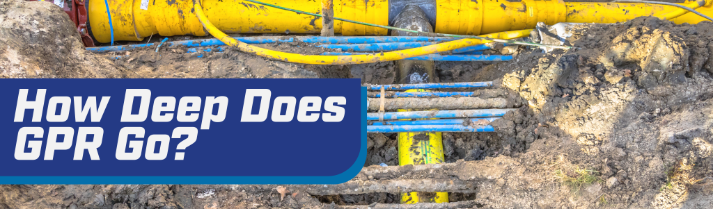
How Deep Does GPR Go? […]
Can GPR Detect Clay Pipe in Clay Soil?
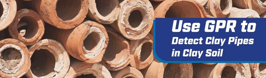
Can GPR Detect Clay Pipe in Clay Soil? How […]
Hanover Engineering
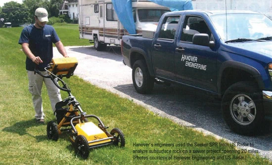
LOOKING DOWN TO FIND UP-TIME GPR – Ground […]
USRadar Releases New Base Station Free GPR Unit – GPROVER
US Radar GP Rover Combines Advanced Subsurface Radar and […]
2018 Contractors’ Top 50 New Products Awards

GPRover Mapping System Award Winner MATAWAN, N.J. – […]