

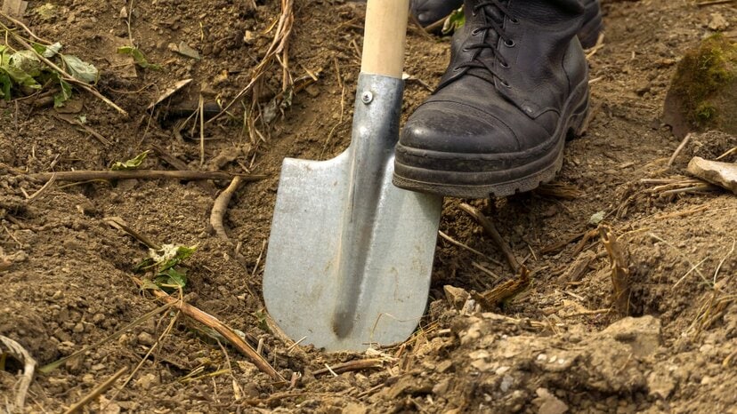
If you’ve been searching for a way to accurately assess subsurface objects without grabbing a hammer or shovel, you may have come across the topic of ground-penetrating radar systems. Whether you’re a professional in law enforcement looking for a more efficient method of locating evidence or a surveyor searching for a means of measuring underground utilities, ground-penetrating radar systems, or GPR, might be the solution you seek. Continue reading and browse our site for more information about ground-penetrating radar.
But what exactly are they? In the simplest terms, a GPR system is an instrument designed and engineered to detect objects, structures and varying differences in subsurface materials without destroying those materials. Most often, this applies to subsurface soil, but these systems are equally adept at mapping structural materials, such as concrete.
When compared to other methods of locating and identifying subsurface objects and materials, GPR is incredibly powerful. It’s more accessible and mobile, and it’s far quicker and more cost-effective than other approaches. Ground-penetrating radar’s versatility and non-destructive approach streamline a variety of activities that require locating, measuring and mapping underground objects and structures.
A Closer Look at GPR
The foundations of GPR lie in electromagnetic theory. While the history of these theories spans more than two centuries, practical applications weren’t developed until the 1950s. From that point, innovators began applying them to measure subsurface materials, and GPR systems took off.
In more complex terms, GPR uses electromagnetic contrasts in the soil to determine the depth and location of objects in the ground and, to some degree, what those objects are. These electromagnetic waves are transmitted from one antenna and bounced back to a receiving antenna, letting the device send and detect the waves and gain clarity about what and where objects are within the soil.
On ground-penetrating radar systems, these antennas are attached to a wheeled device that an individual rolls over the surface of the soil or structure. Paired with a power supply and a control unit to display data, the entire system provides a way to accurately measure, map and survey subsurface materials ranging from forest floors to desert sands to concrete foundations.
The technology has evolved rapidly in recent years, paving the way for a wide range of applications across various industries.
The Endless Applications of GPR

When paired with other modern technologies, GPR applications span a variety of professions and industries. From geophysical consulting to academic pursuits in archaeology, ground-penetrating radar offers an incredibly versatile method of locating, identifying and mapping various structures buried beneath the surface. Here are just a few of them.
Utility Locating
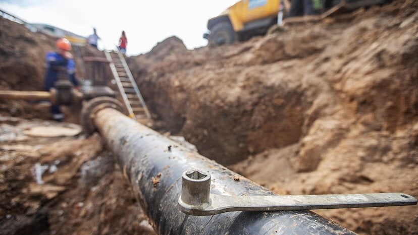
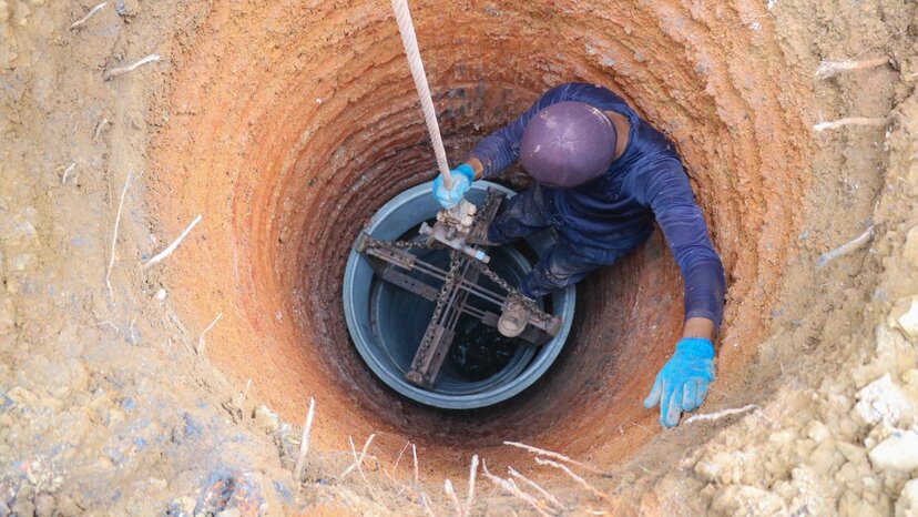
Ground-penetrating radar systems offer multiple advantages over other utility location techniques. For starters, GPR doesn’t require any digging or excavating, which means it’s far safer than other methods. It also adapts to various soil conditions, so whether you’re in a wooded area in Montana or a desert in Nevada, it’s equally effective. And because it’s able to detect both conductive and nonconductive materials, its versatility is powerful.
The subsurface imaging and data that GPR provides helps operators and surveyors build an additional layer of damage prevention for every infrastructure or construction project. This level of detail simply isn’t attainable with one-call locators. From soil disturbances to telecommunication cables, GPR helps operators understand exactly what’s below the surface, even in complicated conditions.
Here are a few things GPR can help identify:
- Various types of piping including plastic, clay, PVC, metal and concrete
- Different types of cable such as power, telecommunications and fiber optics
- Sewage and plumbing structures including water boxes, septic tanks and manholes
- Non-structural objects such as water, wastewater and voids
This versatility and accurate data collection help streamline the utility location process by providing meaningful information about underground structures and cables more quickly. And with the right tools, this data is shareable between multiple parties to help make critical decisions.
Structural Assessment
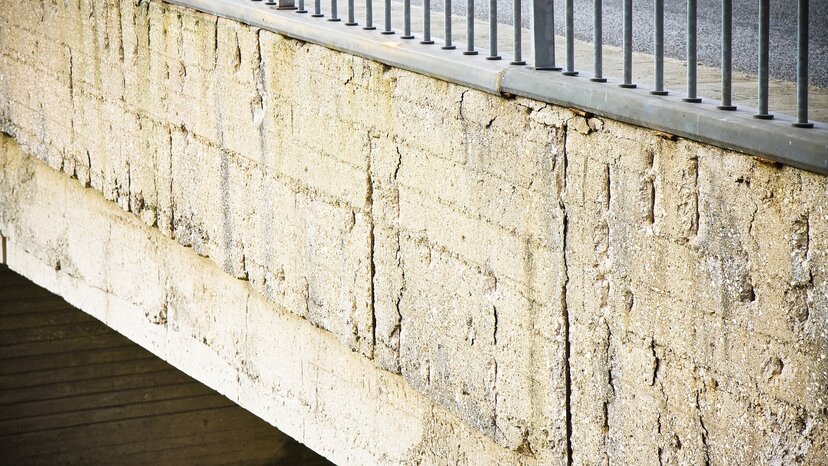
Ground-penetrating radar goes much further than locating and mapping subsurface ground — it even helps with structural assessment, including concrete scanning and bridge deck analysis.
In fact, GPR is the quickest non-destructive method for measuring and analyzing. It’s invaluable for assessing damages, such as concrete degradation, that require remediation. It also helps contrast these problem spots with structural rebar. This helps engineers know precisely where they need to start coring to get the job done.
GPR helps identify and provide data on a plethora of things in structure assessment, including:
- Thickness in slabs, walls or asphalt
- Concrete spalling or cracking
- Reinforcing
- Voids in structures
With a properly equipped GPR system, surveys gain access to structural information that’s otherwise unavailable. With accurate imaging of varying depths and resolutions, they’ll have the data they need to make well-informed decisions.
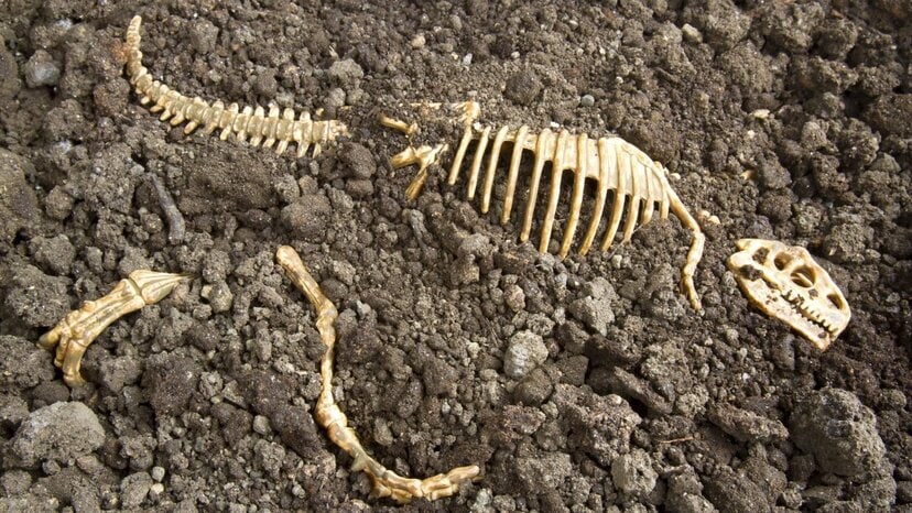
Vital in Archaeology
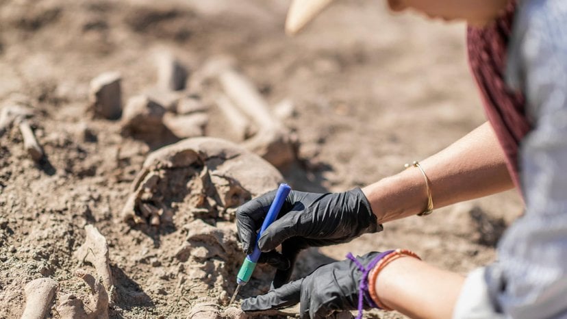
Excavating is an expensive, time-consuming endeavor for archaeologists. More importantly, it’s extremely risky — a single mistake could damage or destroy a priceless artifact or scientific discovery. This is why archaeologists collect as much subsurface data as possible before they start digging.
Ground-penetrating radar provides archaeologists with a robust amount of subsurface data to ensure their excavation efforts are successful. Long before they ever break ground, they can use GPR to build accurate readouts of where artifacts are buried and identify risks before sinking a single shovel.
Ground-penetrating radar provides accurate subsurface information to help archaeologists decide where to dig and how deep they should do so. It can aid them in location and uncovering things such as:
- Buried buildings and structures such as foundations, trenches and cisterns
- Underground tunnels and voids in the soil
- Bones, graves, coffins and other artifacts
While GPR won’t provide the outline of shapes in the soil, it does provide extensive data on what’s in the subsurface layers as well as the soil conditions archaeologists are faced with. Excavation still requires the experience and expertise of a professional, but GPR provides much more information about the soil and the objects within it that those professionals wouldn’t otherwise have.
Geophysical Applications
In geophysical applications, obtaining accurate data and drawing meaningful inferences from that data is crucial. Because of this, many people in the field rely on low-frequency GPR systems to enable better depth penetration.
Low-frequency GPR systems aid scientists and other professionals in myriad geophysical applications:
- Identification of different rock and soil compositions in strata layers
- Determining location and depth of bedrock
- Locating and management planning of groundwater
- Finding fill placement, density changes and masses such as roots, boulders and rocks
Whether it’s for natural sciences or civil engineering, being able to accurately survey subsurface layers is part and parcel of geophysical applications. From identifying and measuring bedrock to locating groundwater for urban planning, GPR is an indispensable tool.
Environmental and Humanitarian Efforts

Ground-penetrating radar plays a big role in environmental efforts. Scientists use it to survey the subsurface, providing them with the data they need to help protect regional ecosystems from contaminants.
Unlike typical locating and measuring tools, GPR images and maps the entire subsurface, giving environmental conservationists and activities accurate data on things such as non-conductive buried objects, water tables and changes in soil structure. This helps them survey and monitor contamination risk factors, all without ever breaking ground.
Ground-penetrating radar helps with:
- Mapping the extent of contaminant plumes and determining migration
- Assessing landfill limits
- Locating buried drums
Ground-penetrating radar even helps in various humanitarian efforts. In combat or war zones, the ability to locate dangerous objects such as unexploded bombs and explosive remnants of war without penetrating the soil is invaluable.
Numerous Uses in Law Enforcement
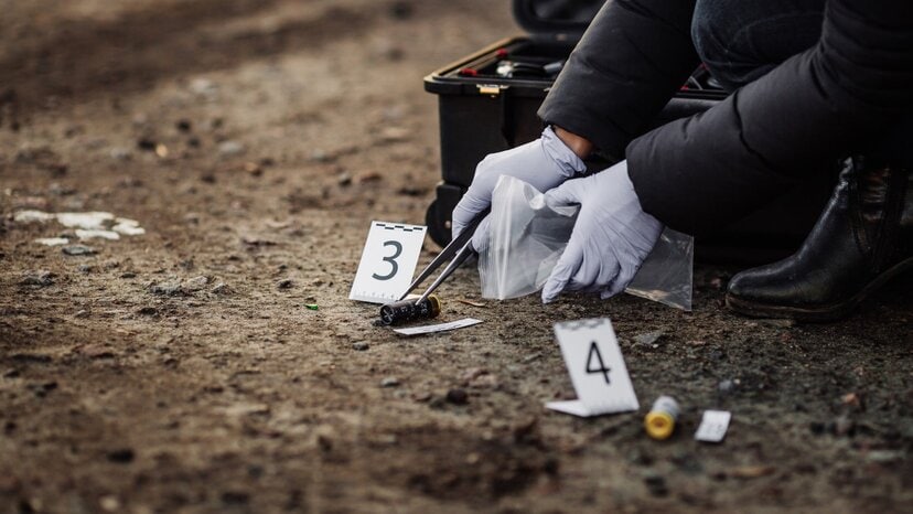
When they’re working against the clock, many law enforcement agencies rely on GPR systems to aid in investigations. For starters, GPR systems are highly mobile and can be deployed to crime scenes quickly. Additionally, because GPR is non-destructive and doesn’t require digging or destroying structures, it’s used to search for buried evidence much more effectively.
Criminals often bury evidence that ties them to their illegal activities, making it challenging for officers to find the evidence they need to convict. This can be anything ranging from weapons and drugs to money and bodies. In these instances, law enforcement depends on a ground-penetrating radar system to quickly locate and identify this evidence. It’s especially useful when locating objects that metal detection can’t identify, such as money and drugs.
Law enforcement even depends on GPR systems to help locate the remains of homicide victims. Ground-penetrating radar can help in identifying soil disturbed by grave digging as well as remains and other evidence, tens of feet into the ground.
Locating Historical Grave Sites and Cemetery Mapping
Identifying and marking graves is an integral part of honoring and preserving our history. Yet the ability to accurately locate ancient grave sites and burial grounds lost to history is uniquely challenging. These challenges are exasperated when historians are faced with locating nonmetallic objects such as wood or bone. In these situations, typical location methods and tools are largely ineffective.
With the ability to penetrate beneath the soil and identify soil disturbances and other buried objects, GPR systems provide a tool for historians and archaeologists that is far more effective. GPR can assist in identifying and finding a variety of atypical, nonmetallic objects such as:
- Buried bones and wood coffins
- Historically significant burial items
- Disturbances and voids left in the soil from gravesites
Surveyors that plot new gravesites can also find GPR systems invaluable, especially when paired with GPS and mapping systems. This can help in mapping grave sites confidently and without disturbing existing burials or plots.
Start Leveraging GPR with US Radar
![]()
US Radar has been at the forefront of innovating ground-penetrating radar systems for more than 30 years. Our industry-leading solutions provide professionals with the tools to accurately image subsurface materials without destroying the surface. Whether you’re in surveying or academia, our ground-penetrating radar products provide you with the data you need to do your job more quickly, more effectively and more efficiently.
If you’re thinking of adding a GPR system to your tool kit, we can help you find the right tool for the job. With a network of professional representatives all over the world, we’ve helped countless professionals find the system they need and see immediate returns on their investment. Get in touch with us today to get started.


