

How deep does GPR go? This is one of the most common questions asked surrounding ground-penetrating radar systems and technology. If you’re in the early stages of research, you’ve likely seen a range of answers. What’s more, each answer you find is itself a range. Once you start averaging these ranges together, you’ll likely end up with something between two and 100 feet. Continue reading and visit our site and learn more about GPR and its depth capabilities.
That’s an incredibly high variance. If you’re looking for a solution to help you locate and measure underground objects, you need to know which side of that variance your specific use case falls on. Depth penetration numbers with such a wildly high variance just aren’t helpful. What’s more, without understanding the specific variables that impact GPR penetration depth, they’re even misleading.
Thankfully, grasping those variables and applying them to your survey needs and goals isn’t a time-consuming endeavor. In this case, a little information goes a long way. Here’s what you need to know to determine the depth of GPR penetration for your specific applications.
A Quick Look at How GPR Works in the Field
To understand how the forthcoming variables impact GPR, it’s worth taking a moment to look at how the underlying technology works.
Ground-penetrating radar systems are designed to image subsurface materials using electromagnetic radio waves transmitted into the ground from an antenna. Unlike other systems, GPR analyzes and images the objects within the subsurface layers as well as the layers themselves, including any disturbances within. It’s the best way to nondestructively locate and image subsurface materials and locate the objects within them.
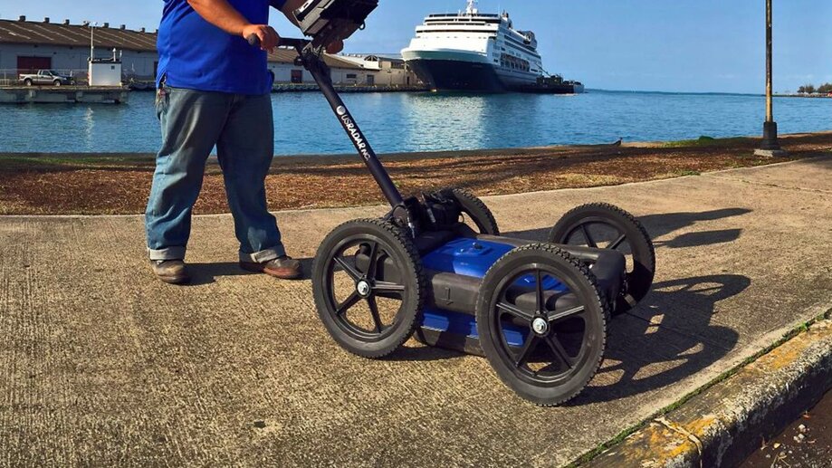
Surveying with a GPR system requires pushing the antenna across the survey site and transmitting the electromagnetic signal into the ground. When the signal encounters some kind of change in the soil — whether an object or an anomaly — it’s bounced back through the soil to the antenna. The system measures the details of this feedback to give clues as to the type of object in the subsurface material as well as its depth.
On higher quality systems, this feedback is displayed in real time on a digital display attached to the system. For example, on our GPRover system, radar feedback is shown as an image on the display. The image updates in real-time, showing distortions in the radar signal, such as hyperbolas or arcs. High and narrow arcs often indicate small, round objects. In contrast, broad, flat arcs indicate much larger objects. Finally, jagged or hyperbolic distortions usually indicate soil or material changes.
Using the GPR’s system software, an operator collects these image distortions and creates datasets that paint a vivid picture of the subsurface material. These datasets determine:
- The location of buried objects
- Depth and dimensions of those objects
- Changes to the structure of the subsurface material
In other words, these datasets provide the necessary information to make informed decisions regarding the survey site, whether it’s locating utility lines for a new construction project or surveying an archeological site for clues. Moreover, the data is sharable with colleagues or stakeholders to help make these decisions.
The Variables That Determine GPR Penetration Depth
Primed with the basics of how everything works, we can look at the variables that impact GPR’s penetration depth in real-world scenarios. While determining the exact depth capabilities of GPR in every possible scenario is an impossible feat, looking at four major variables can narrow things down considerably. Those variables are:
- Material properties and soil conditions
- Target size
- Antenna frequency
- Equipment quality and capability
As you can imagine by looking at the factors above, conditions vary from survey to survey and across a single survey site. If you’re locating objects in various materials or soil conditions at a single survey site, penetration depth varies. But this is why it’s so important to understand each variable.
Material Properties and Soil Conditions

By and large, the biggest variable in determining GPR penetration depth is the material and soil conditions of the survey site. It also affects the quality of the data you collect, so it’s easily the most important consideration for any survey.
Electromagnetic radio waves work like other waves in that they can only travel so far. Eventually, the waves are absorbed by objects or materials in their path. This is where you get the high end of GPR’s depth. In perfect conditions, electromagnetic waves can travel upwards of 100 feet before they’re fully absorbed by the ground.
The other half of the equation is the dielectric properties of the ground material. The dielectric of a material essentially determines how conductive it is. The higher the dielectric of a material, the more conductive it is. And the more conductive a material it is, the more it absorbs the electromagnetic waves of GPR.
When talking about the dielectric properties of ground material, the biggest culprit is moisture. The electromagnetic signal from GPR is absorbed much faster by highly saturated materials, resulting in decreased depth penetration. If you’re scanning a site with dense, wet clay, the impact on penetration depth is considerable. Conversely, if you’re scanning dry material, the depth reaches the higher end of GPR’s capabilities.
Tip: Soil conditions also include factors such as weather. Excessive rainfall can create conditions where even optimal surface materials are too saturated for GPR to work effectively. Keep this in mind when planning a survey.
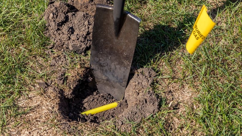
Target Size
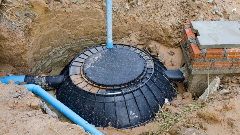
In many cases, surveyors have some idea of the object they’re looking for. It could be a septic tank, utility lines or rebar in cement. In other instances, targets are less defined, such as searching for sinkholes, surveying archeological digs or measuring groundwater. In either case, the target’s size is an important variable to keep in mind.
Put simply, larger objects reflect more electromagnetic waves back to the GPR antenna. Smaller objects still reflect waves, but the reflections are less defined. It’s important to balance this with material properties and soil conditions, too, because even large objects won’t reflect much energy if they’re at the higher end of depth penetration.
Antenna Frequency

There are actually two factors to consider when looking at antenna frequency: depth and data quality. Choosing the frequency that balances these two factors is crucial to effective use of GPR. Of course, you also need to balance these with material properties and soil conditions.
As a general rule, lower frequencies “bounce” less and travel much further than higher frequencies. In perfect conditions, the lower the frequency, the greater the depth. But conditions are seldom perfect. Looking at the example table below, you can see how generally the higher the dielectric of the material, the lower the penetration depth.
| Antenna Frequency | Example Depth in Wet Clay | Example Depth in Dry Sand |
| 100 MHz | 40 ft. (12m) | 100 ft (30m) |
| 250 MHz | 14 ft. (4.5m) | 30 ft (9m) |
| 500 MHz | 6 ft. (1.8m) | 14.5 ft. (5m) |
| 1000 MHz | 2 ft. (60cm) | 6 ft. (1.8m) |
| 2000 MHz | 0.5 ft (15cm) | 2 ft. (60cm) |
So, why not use a 100 MHz antenna and call it good? After all, even in the worst conditions, lower frequencies provide greater depth. The reason is data quality. While lower frequencies travel further, they also provide less information about the materials they travel through and bounce off of. In other words, the lower the frequency, the lower the resolution and the higher likelihood that smaller targets will be missed.
Equipment Capabilities and Quality
The quality and capabilities of the equipment you use are often the deciding factors in the success of your survey. For those who need a solution for a variety of materials and soil conditions, a system that operates on a single frequency will produce unfavorable depth penetration in many situations. And in other instances, it won’t produce the necessary data quality and resolution.
One approach is to use a GPR system that operates on multiple frequency ranges, such as our Quantum Imager. Our solution is equipped with antennas that transmit three separate signals covering the entire range of frequencies used in subsurface imaging. This means you get the best of both worlds: greater depth and higher resolution across a variety of materials and conditions.
On the quality side of things, using a system that’s designed and engineered to a higher standard just makes sense. A higher-quality system produces greater penetration depth, higher resolution data and an easier approach to subsurface imaging. Most importantly, it means consistent and reliable results, survey after survey.
Solutions for Every Scenario With US Radar

A little bit of knowledge goes a long way in helping to understand GPR’s depth penetration capabilities. By looking at the variables that affect those capabilities, you can whittle down the range of numbers into something more appropriate for your specific needs.
At US Radar, we’ve worked hard for more than 30 years to perfect high-quality GPR solutions that produce results in the real world. We know that GPR technology requires a careful balance between the theoretical and the everyday needs of our customers. This is why we offer so many products that work in a variety of applications. If you’d like to find how one of our solutions can work for you, get in touch with us today.


