

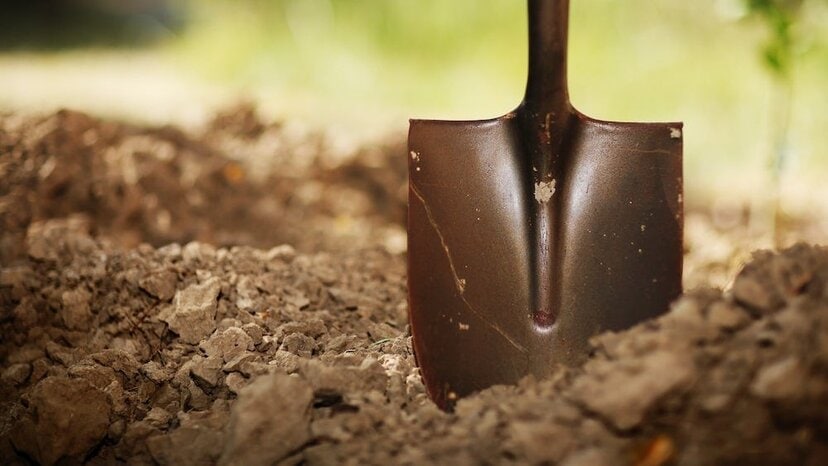
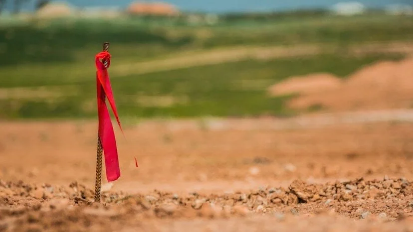
Archeologists have successfully excavated countless survey sites for hundreds of years using shovel test grids. This time-tested approach entails laying out a grid section and digging each unit individually. Once the grid is finished, researchers move on to the next one, which might be up to 20 meters away.
However, this approach has drawbacks. Researchers are likely to overlook small things with such big gaps and run the risk of damaging priceless artifacts. Simply stated, archeological sampling and excavation are time-consuming, expensive and hazardous to the very objects archeologists seek to unearth.
Thankfully, there are now methods available to modern archeologists that are far more effective than shovel testing.
Ground-Penetrating Radar as an Alternative
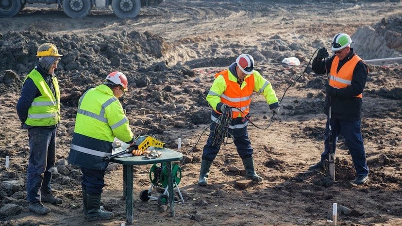
Ground-penetrating radar, or GPR, enables archeologists to survey a dig site without having to break soil looking for evidence or items. This allows for a more efficient, safer excavation before anyone needs to reach for a shovel.
GPR and other geophysical techniques have shown potential in recent years for noninvasive surveying of sensitive archeological locations. Targeting what, where and how to dig saves time and money and prevents irreplaceable items from being damaged. When used effectively, GPR provides a wealth of subsurface information.
Ground-penetrating radar is a fantastic instrument for archeologists seeking to find the ideal digging locations at archeological survey sites. The technology stands out from among other available geophysical methods as the only one that provides genuine depth information and high-resolution data in a variety of materials and environments.
How GPR Works
Ground-penetrating radar works by sending small bursts of energy into subsurface materials using a two-way antenna. The strength and response time sent back from underground objects are recorded by an integrated computer. Once processed, these responses are displayed in real time so the operator can determine object location, depth and approximate size. Put simply, GPR is the most precise, high-resolution geophysical method.
Such methods can pinpoint the best places to excavate and indicate which areas should be avoided. This is especially useful for large multi-acre areas, where GPR can be used to build a high-resolution map of what the site might have looked like when it was occupied.
On a smaller scale, researchers and operators can use GPR to produce a more targeted survey of distinct characteristics, such as underground structures or housing foundations.
Archeologists are employing ground-penetrating radar to find underground structures that may be part of a lost or submerged city as well as possible sites for development and operations. They can utilize GPR to assist in the discovery of things such as:
- Buried buildings and foundations
- Forgotten infrastructure, such as trenches, waterways and cisterns
- Underground tunnels and voids
- Buried military paraphernalia
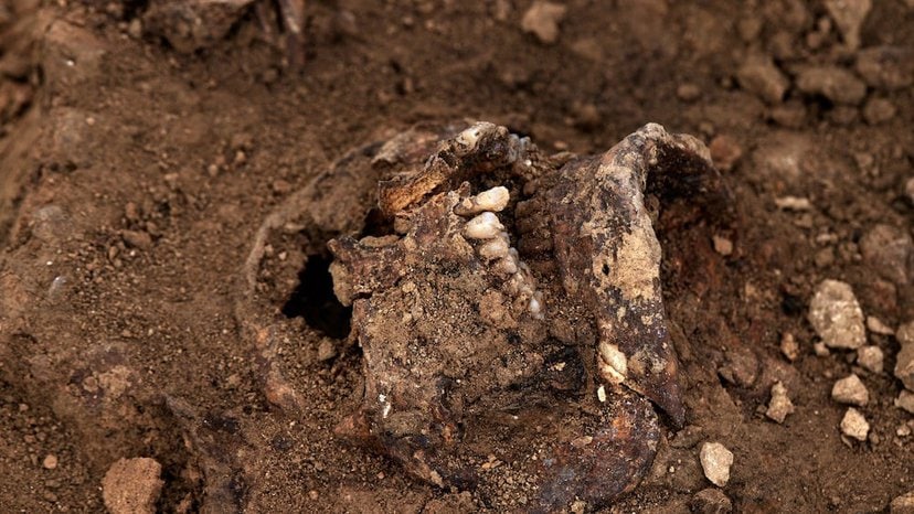
- Bones, human or otherwise
- Graves, coffins and other burial artifacts
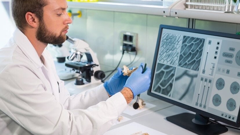
It’s important to note, however, that GPR alone doesn’t clarify exact objects. Instead, it tells the surveyor where subsurface objects are with a high degree of certainty. It’s up to the operator or another archeology professional to evaluate and interpret the data collected to reach an accurate conclusion.
GPR Compared to Other Geophysical Methods
Archeologists employ a variety of geophysical techniques, often leveraging different approaches for different needs and environments. The most common ones include:
- Electrical Resistivity Imaging
- Electromagnetic Induction Imaging
- Magnetometry
Because each is better at measuring different things, these approaches are frequently used in tandem. Magnetometers are often combined with ER surveys, for example. But GPR is the only geophysical method that provides accurate depth information. This gives it a clear advantage over all other approaches.
There are certainly more advantages GPR offers over geophysical methods.
Electrical Resistivity Imaging
Electrical resistivity imaging is used to map soil and rock depth. It involves the placement of dozens of stakes used to measure electrical resistance. These stakes are placed in a straight line, and data collection is confined to this narrow area.
ERI works well for its purpose, but it’s far more time-consuming than GPR. In the time it takes to collect two to four profiles using the technology, GPR provides upwards of 80 profiles.
Magnetometers
Magnetometers are sensors that measure the strength and direction of magnetic fields. They’re designed to detect irregularities in the earth’s magnetic fields and indicate the location of objects made of ferrous materials.
Because of this approach, magnetometers depend heavily on an object’s mass for detection, making them insufficient in surveys where smaller items are likely found. And high concentrations of magnetic materials easily disrupt measurements, making them much more finicky for accuracy and high-quality data when compared to GPR measurements.
Electromagnetic Induction Devices
Electromagnetic induction devices measure changes in mutual impedance between coils placed on or above the surface. Most consist of multiple coils separated by a set distance and connected electrically.
While EM devices can examine subsurface conditions and locate underground objects spatially, they don’t provide good depth information. They also respond strongly to metal, which means surveys focused on nonmetallic materials aren’t well-suited for the approach.
GPR, on the other hand, has no problem in detecting metallic and nonmetallic objects and determining their precise depth and location.
Tips for Surveying Archeological Sites With GPR
Even though GPR provides a wealth of accurate data, it’s good practice to obtain as much information about the location as possible.
Surveyors should track down any historical maps and ensure that they have access to the results of walkover surveys, which demonstrate concentrations of archeological features and artifact density. They should also know what researchers anticipate the GPR to reveal to better understand what to search for.
Other factors surveyors should know are:
- The time period researchers are investigating
- Results from the initial archeological survey or investigation
- The density of the features being mapped
GPR surveys are a great tool to fill in gaps between shovel tests to ensure a complete picture of a site is achieved. Since survey budgets are always tight, it’s best to collect as much data as possible within the time and budget allocated.
Context is everything, so the right parameters will always be based on the site and the findings of the initial archeological investigation. Collection parameters vary by the type of site and the density of features.
Other Considerations

Even though surveys can use GPR on nearly any surface, like shovel testing, the best practice is to use grids for GPR surveys. A larger grid should be placed over a feature to see what’s going on around it. To gather more information, space buffers are recommended.
It’s also important that GPR surveyors report any abnormalities to researchers. In an ideal world, the surveyor would provide feedback on the anomalies as well as information about what was discovered in the end. This lets surveyors return and re-examine findings with GPR, providing a greater sense of what each data point means long before researchers break ground.
One thing to keep in mind is that, for academic work, you need as much data as possible within the given timeframe. Surveying with GPR creates a digital archive of the entire survey process, so even if the site is later damaged, all the valuable data remains.
Elevate Archeological Surveys With US Radar

At US Radar, we’ve engineered innovative GPR solutions for more than 30 years, and our products are prized by countless professional researchers. If you’re thinking of leveraging the power of GPR for your next archeological survey, we can help elevate your work. We have knowledgeable professionals across the globe who are ready to help uncover the perfect solution for your research and for your continued success. To find out more, get in touch today.


