

When it comes to surveying in a non-destructive manner, ground-penetrating radar is one of the best methods available. In the hands of a skilled operator, GPR can locate everything from underground utilities to archaeological discoveries yet to be unearthed.
But how do you effectively operate a GPR system? More specifically, how should you set up your site survey to provide yourself and your colleagues with the best possible data? The right strategies and techniques can go a long way. These include:
- Analyzing the target and target material
- Properly configuring your GPR system
- Designing an effective survey plan
With these steps and a little practice, you can ensure all of your GPR surveys give you the best possible data.
Analyzing Your Target
Before you ever take your first step in the field, you need to take the time to understand what you’re looking for as well as the survey site. More specifically, you need to know what kind of material you’re working in and how that impacts your GPR system.
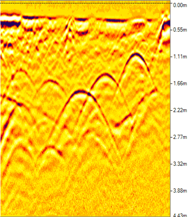
Radar travels through different materials at varying velocities. While it moves through the air the fastest, once you start scanning physical objects, the velocity slows down. The rate at which materials affect the radar signal velocity is referred to as the dielectric constant. Generally, there is a direct relationship between the dielectric constant of a material and its density. This is precisely what makes GPR effective. Systems beam radar into the ground and measure the reflections of signals caused by changes in density in the subsurface.
The key thing to know about dielectric values is that water has the biggest impact on velocity. For example, where air has a dielectric value of one, water has a value of 81. This puts all other materials somewhere in between air and water.
With this in mind, there are two key factors you need to consider when looking at targets and site materials:
- Whether there are adequate dielectric differences between the target and surrounding material
- How the surrounding material’s dielectric value will impact surveying
On surveys where there’s little variation between target and material dielectric values, successfully locating objects can be challenging — but not impossible.
As for the surrounding material, its dielectric value generally impacts how deeply you can scan. Higher value materials absorb or attenuate radar signals before they can travel too far, so you’ll need to account for it when working in materials such as clay and wet soil. Conversely, signals can travel much farther in materials like dry sand or concrete.
Setting Up Your GPR System
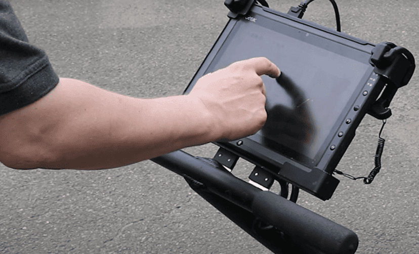
It’s important to take the time to properly configure your GPR system before every survey. Don’t simply assume you can configure it in the field. There are various settings available to you, and it’s best to have them configured before you ever set foot on the survey site. This gives you a baseline to work from so you can make adjustments in the field more easily if you need to.
The two most important factors in setup are:
- Understanding target size and depth
- Selecting the right antenna frequency
When you know what you’re looking for and how deep it is, antenna selection is easy. Lower frequency antennas provide deeper penetration but at low resolutions. This makes them good for locating large objects deep beneath the surface. On the other hand, if you’re locating objects that are only 1 or 2 feet below the surface, a higher frequency antenna offers much greater detail.
Planning Your Survey
Now that you have a good understanding of your target and target material, it’s time to start planning your actual survey. Depending on the target you’re locating and the time allowed, there are a few scanning strategies that will serve you well.
Selecting a Grid Pattern
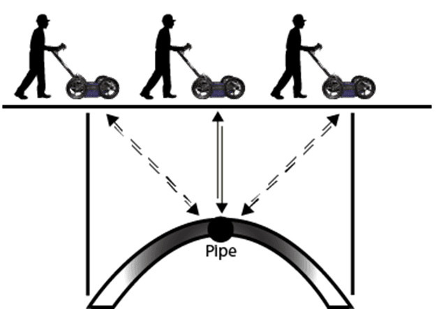
For most surveys, setting up a bidirectional grid will deliver high levels of accuracy. This is especially true for cylindrical objects such as buried drums. These types of targets can appear flat on a single pass — scanning from the opposite direction helps operators avoid mistaking them for soil layers.
Grid spacing should be determined by the target object, with space between each line equal to the target’s smallest possible dimensions. In instances where time is limited, you can scan in a larger grid pattern and then narrow down each quadrant for additional scanning.
For surveys involving larger planar objects, such as geological mapping of soil layers or water tables, single-pass scanning can be adequate.
Determining the Number of Scans
Figuring out your scan number will depend on a few factors, including:
- The size of the target
- The material being scanned
- The amount of time allowed for the survey
Generally speaking, the smaller the target, the more scans you’ll need to perform to accurately locate it. If you’re locating an object that’s only an inch in diameter, you may need to take several scans per inch for acceptable accuracy. This, of course, impacts survey time and can slow things considerably. On the other end of the spectrum, if you’re surveying large geological features, a single scan per foot can provide the necessary data.
Tips and Techniques for Successful Surveys

Now that your site survey is planned, you’re ready to head out into the field and start collecting data. Here are a few tips to help make sure your survey goes off without a hitch.
Check Your Equipment
Make sure you’ll have adequate power for your survey. Check that all of your batteries are fully charged. If you plan to be in the field for an extended amount of time, be sure to bring backups. If you’re surveying indoors, bring along an AC adapter.
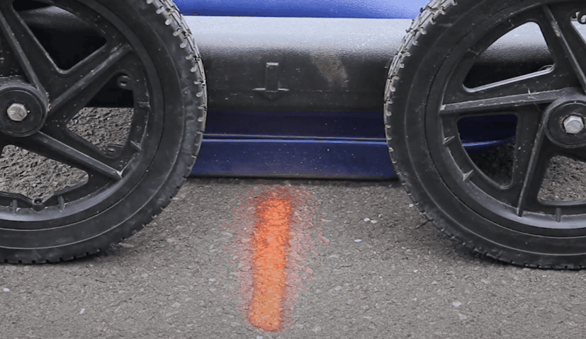
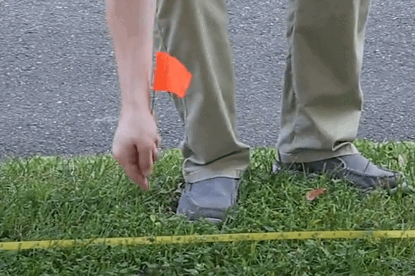
In addition to your GPR system, you’ll also want to have cones, flags, stakes and paint for marking. If you’re performing 3D scanning, bring tape so you can create a scanning grid.
Finally, do a routine check on everything you’re bringing before heading out to the field. Power on all of your sensitive electronics and make sure they’re in working order.
Start With Your Eyes
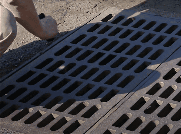
When you arrive at the survey site, the first thing you’ll want to do is a visual survey. Take note of any objects you’ll need to account for in your scanning. For service surveys, you should document things like valve covers and manholes. For environmental surveys, check around the perimeters of buildings for things such as:
- Vent pipes
- Spill pipes
- Depressions or voids in the surface
During your visual survey, it’s helpful to document what you see. Bring along a sketch pad for drawing simple blueprints or use your phone or a camera to snap photos of relevant objects.
Be Thorough
Be as thorough as you can in your survey — the more information, the better. Opening up manhole covers or drains, drilling test holes in concrete, measuring as you go for reference and calibration are all good strategies to keep in mind when surveying.
Most importantly, document everything you do and find. You won’t remember everything you did on your survey, so good notes are crucial. This is especially true if you’re handing the data off to someone else for analysis. Draw site sketches, take photographs and write down the calibration settings you used. Document any and all information you can think of. You’ll thank yourself later.
Let Us Help

Whether you’re performing geological surveying, locating utilities or taking part in an archaeological investigation, ground-penetrating radar is an invaluable tool that can provide you with a wealth of data while saving you countless hours and resources. But to make sure the data you collect is valuable, it’s crucial that you thoughtfully analyze your target, properly configure your GPR system and adequately plan your survey.
At US Radar, we’ve been designing and manufacturing innovative GPR systems for more than 30 years. During that time, we’ve built a global network of professional representatives who have helped countless surveyors deploy and operate our systems, and we can help you too. If you’d like to find out more about survey planning with one of our innovative systems, get in touch with us today.


