

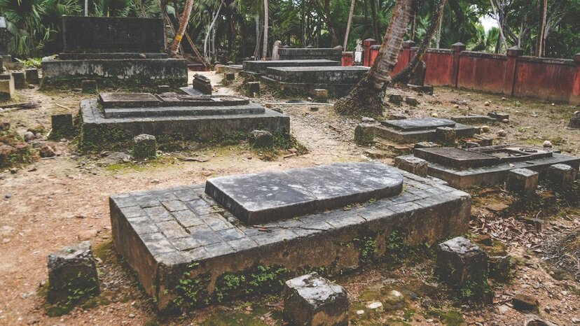
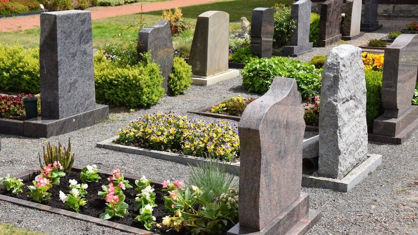
Cemetery mapping refers to the act of understanding the layout of grave sites and other elements within a cemetery and documenting those locations. Cemetery maps can be important for visitors who are seeking specific memorials or grave sites. For older cemeteries, mapping can be an important research or survey function. Find out more about cemetery mapping below, including how GPR technology supports this important task.
What Is Grave Mapping and Why Would Someone Do It?

Grave mapping involves creating a detailed visual depiction of the grave and memorial sites within a cemetery or other location. People engage in grave mapping for a variety of purposes, depending on the location and what might be happening on or around it.
When grave mapping is done for an active cemetery, for example, it’s usually completed with family members, visitors and future burials in mind. Once the survey and mapping work is done, the resulting maps and images can be used to:
- Help visitors understand where things are. Grave maps for visitors don’t typically point out the location of every person’s final resting place. They do, however, show where specific areas of graves are and point out elements of interest, such as a columbaria, memorial or scatter gardens, and historic grave sites.
- Help family members find a new burial site. More detailed maps of grave sites might be provided to family members. Cemetery staff can use these maps to mark the location of a new burial site to help family members locate it — something that might be especially helpful in a large cemetery.
- Locate available sites for future burial plots. Cemetery managers may order a grave mapping survey to understand what plots are still available. This might be helpful for large or historic cemeteries that no longer have records or even headstones for some of the oldest burial sites.
Grave mapping isn’t always done in an actual cemetery, though. Archeologists and researchers may use grave mapping to understand where burial sites are located, so they can avoid disturbing them when conducting digs on ancient villages. And modern construction companies that have reason to believe burial sites might be near a project may order grave mapping to understand what lies beneath and whether they should plan to carefully relocate old graves.
Can Cemeteries Tell You Where Someone Is Buried?
In most cases, yes. While a cemetery may not be able to provide a map that details every single grave site on the grounds — it would be too much information to contain in a convenient map for visitors — most cemeteries have detailed records of who was buried and in what plot.
The only times when this is not the case is when historic records were destroyed and headstones have been worn down to illegibility by the elements or when graves were purposefully made to be unknown or anonymous. Old potter’s fields, which were used to bury the very poor or those who were unknown and never claimed by relatives, are an example of this.
How Accurate Is Ground-Penetrating Radar at Finding Graves?
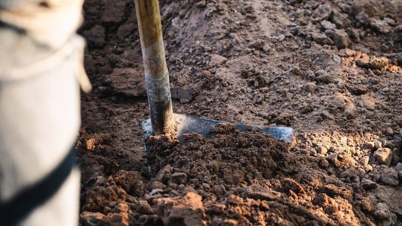
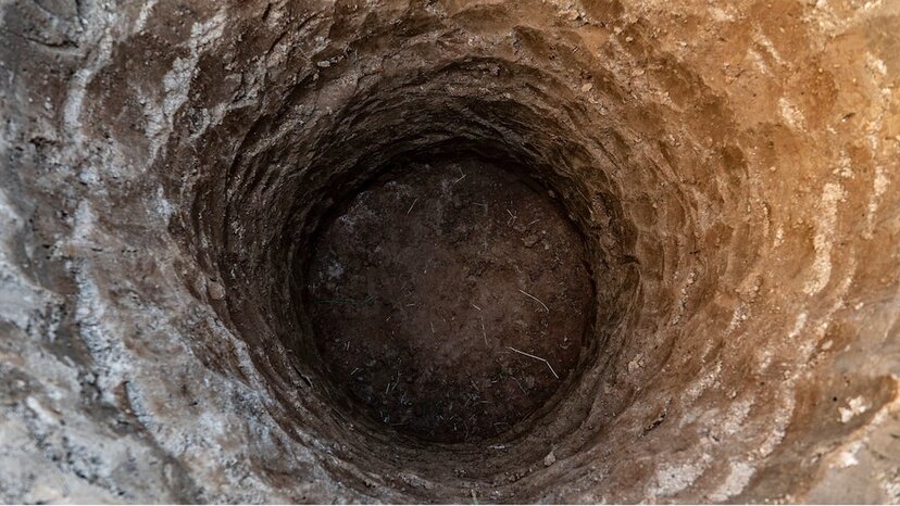
What happens when a cemetery doesn’t have records for old grave sites or someone finds an old graveyard during construction or exploration? Many times, the area is surveyed with ground-penetrating radar before any other activity begins. GPR lets survey teams understand what is below the ground, finding many burial locations and mapping the area with high levels of accuracy. This lets field teams or others decide what to do with the location and avoids unnecessarily digging up burial sites just to find out where they are.
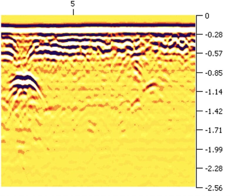
For example, this is a GPR image of a grave with a shaft:
GPR technology is one of the most effective ways to gather information about graves and map their locations. That’s because GPR can pick up metal, wood and cement/concrete — all of which might be involved in creating caskets, coffins and grave containers. It can also help surveyors locate bones, ceremonial items buried with bodies and shifts, disturbances and voids in the soil that indicate a burial site may exist.
How Deep Can GPR detect?
The depths at which GPR is effective depends on factors, such as the material being surveyed through and the soil content. Since most cemetery mapping takes place in soil and ground and not concrete structures, GPR is typically effective at finding objects as small as 6 millimeters in depths of up to around 15 feet. However, there are use cases and scenarios where GPR is effective up to 100 feet at identifying objects as small as 20 inches.
Find Out More About GPR for Below-Ground Survey Needs

Find out more about how GPR solutions from US Radar can help you map and manage cemetery data or see what’s beneath the surface on a potentially historic site before you break ground. Complete our contact form today or reach out via phone at +1 732-566-2035 for more information.
FAQs About Cemetery Mapping
How are graveyards organized?
Modern cemeteries are typically organized based on a section, lot and space schema. The section refers to the area of the cemetery, such as the North Memorial Garden, Statue Honor Garden or even Columbarium. These areas are typically identified on cemetery maps provided or posted for visitors to use.
Next, the sections are broken up into lots. These may be identified with numbers, letters or alphanumeric combinations. Alternatively, in a cemetery that’s set up with an organized grid pattern, lots may be broken into rows instead of sections.
Finally, the smallest unit of cemetery organization is the space or burial plot. This is the specific location where a grave is.
Therefore, a specific grave may be located in the North Memorial Garden, Row 9, Space 2 or in the Statue Honor Garden, Section 11, Space 15.
How do you map a graveyard?
First, you must gather information about where all the graves and other structures are located. This may involve the use of GPR technology to survey the cemetery and ensure there aren’t unmarked graves that must be noted. The survey also includes gathering measurements and location data to support an accurate visual representation of the cemetery.
Once that’s done, the most common way to make a map is to use computer modeling to create a flat visualization of the area. In some cases, maps might be hand drawn by artists and/or cartographers.
What is a cemetery survey?
A cemetery survey is a systematic review of a cemetery’s grounds to gather detailed information about all grave sites and other structures. A comprehensive survey typically includes the use of ground-penetrating radar to understand what’s below the surface, as well as visual inspections and measurements of items above the surface. Information gathered in such a survey is often used to create cemetery maps.


