
Overview

Featured Technologies
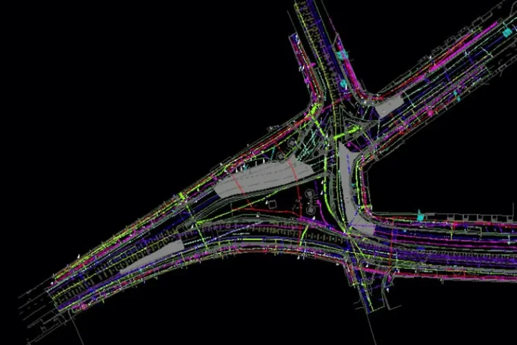
Applications
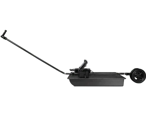
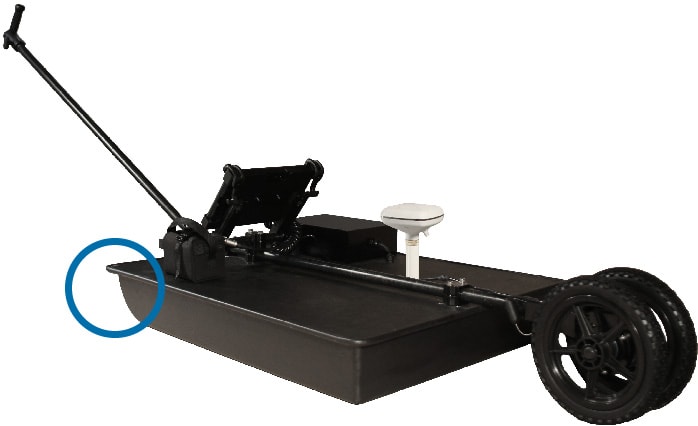
Features


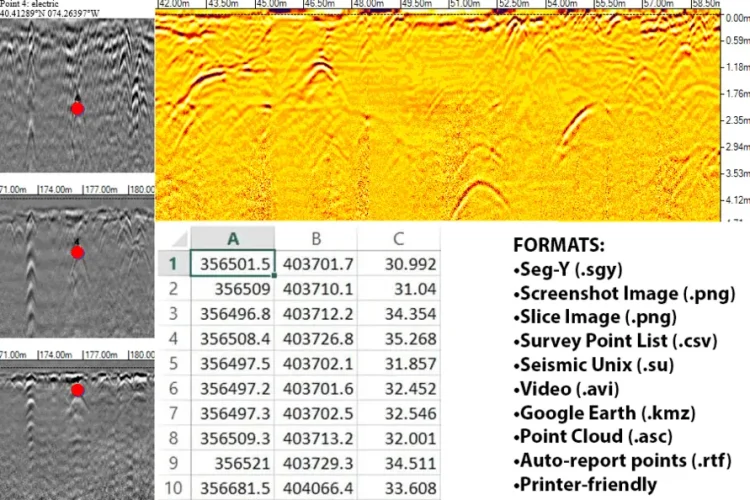
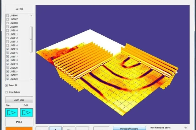
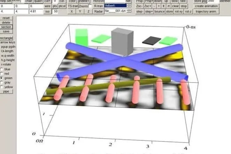
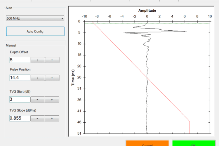
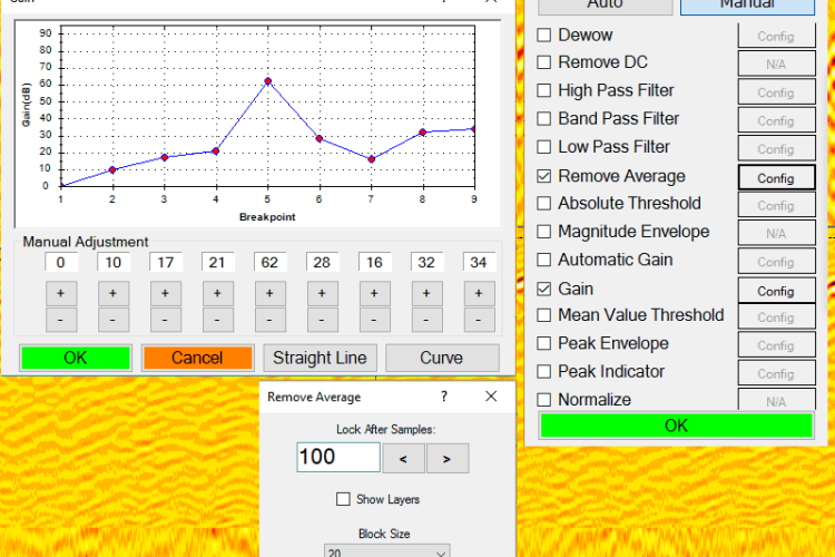
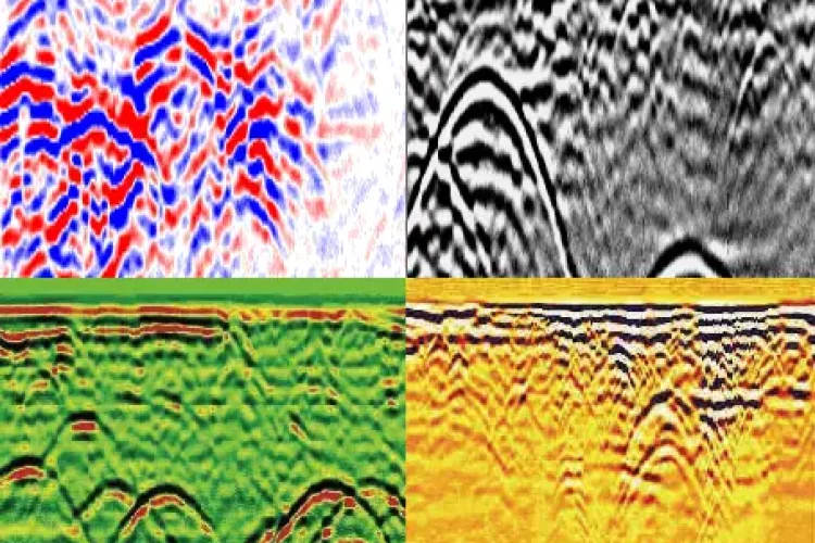
Software