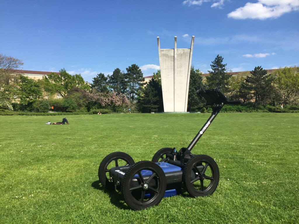
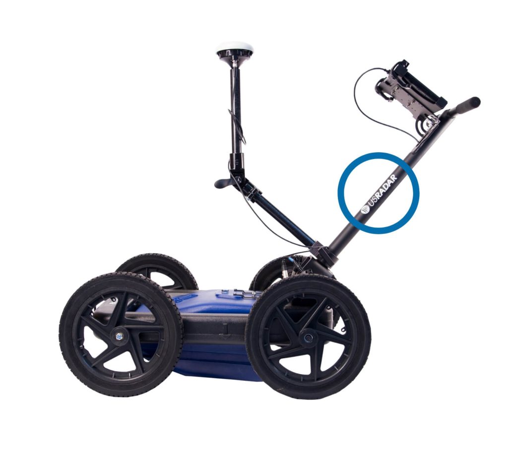
Overview


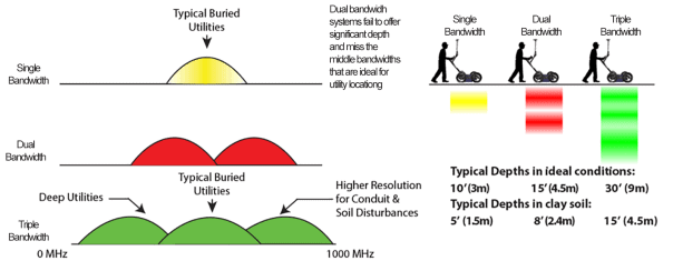
Why Triple Frequency?
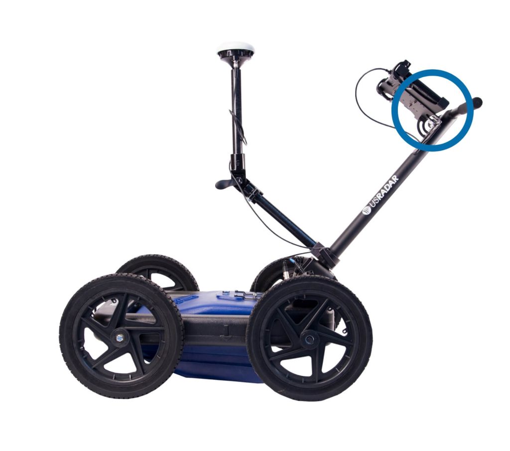
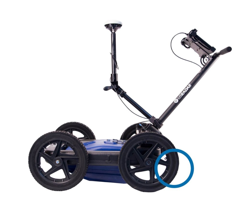
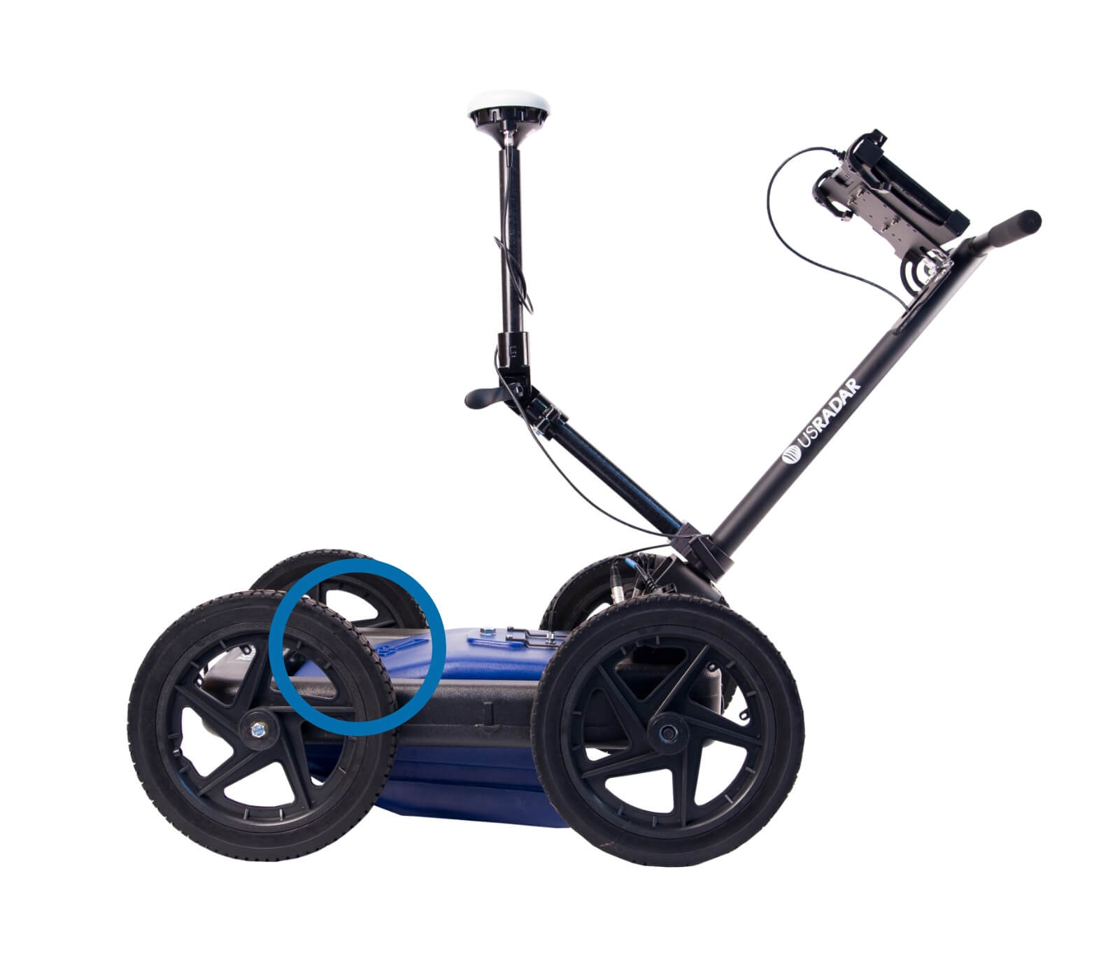
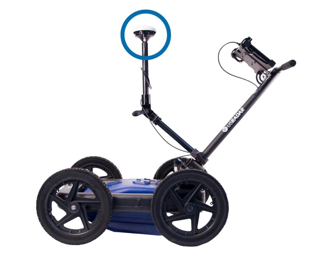
Tilt Correction Technology
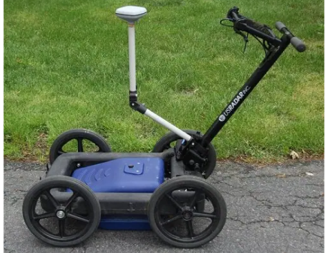
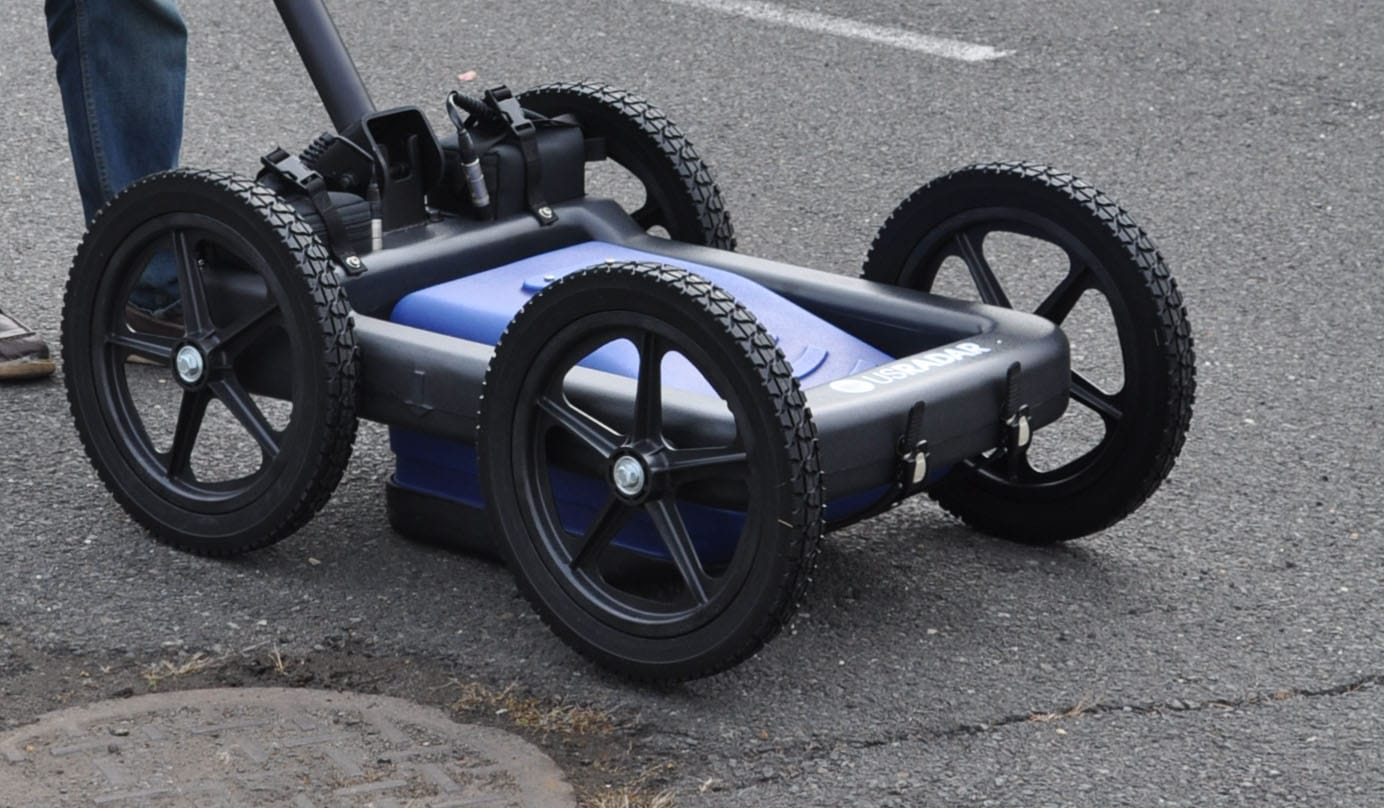
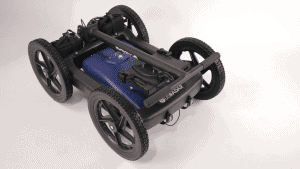
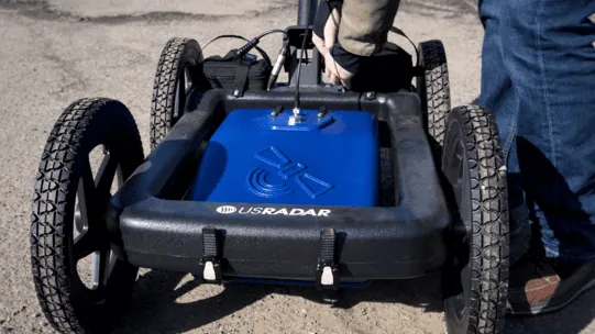
Features
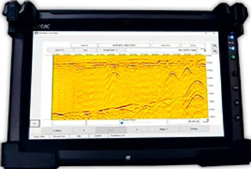

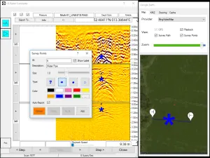
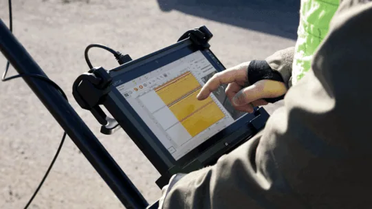
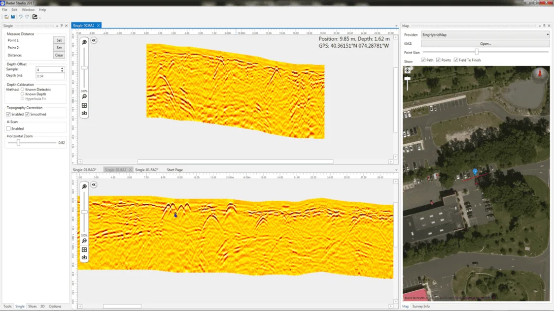
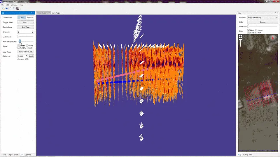
Software
Specifications