Utility Locating Applications for Ground-Penetrating Radar
Utility Locating Applications for
Ground-Penetrating Radar
A Comprehensive Subsurface Picture
Ground-penetrating radar lets you obtain a holistic picture of what’s under the ground before you dig, build or install. From current power lines or water pipes to legacy clay or metal structures — and just about anything else — GPR helps you map the substratum for safer, more efficient planning and implementation. Check out some of the objects and utilities GPR can identify:
Clay Pipes
Plastic or PVC
Concrete Pipes
Transite Pipes
Metal Pipes
Water Valves
Cisterns
Abandoned Lines
Illegal or Unknown
Connection
Condult
Water Lines
Waste Water
Gas Line
Power Lines
CATV
Telecommunication Wire
Fiber Optics
Septic Tank
Voids
Manholes
water
More Information than
One-Call Locators
The Quantum Imager, GPRover, Q Series, and 100 Series can be integrated with almost any type of GPS from handheld to RTK. For most applications, GPS positions are logged constantly while surveying. In the field, or at the office, points of interest are logged for future reference and can have numbers and descriptions assigned to them. These points can then be exported for immediate use in spreadsheets, databases, GIS and CAD Software, and more. For certain, specialized applications, such as lakes and irregular topography, GPS positioning can be used to trigger each scan made by the system. high-accuracy RTK GPS systems are usually the type of GPS system which yields the best results for these applications.
Streamlined Utility
Identification
GPR is noninvasive. You don’t have to start with digging or excavating, so information about a site is gathered in a timely manner. The technology detects conductive and nonconductive materials for a fuller picture, and it adapts to varied soil conditions for use in many locations.
Overcome Common Utility Location Obstacles
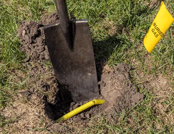
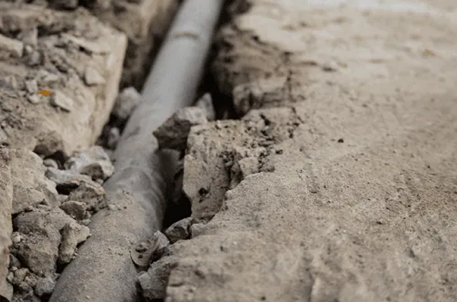
Identifying utility infrastructure or other barriers beneath the surface comes with common challenges. Contractors know that unchecked and unmapped infrastructure, often from private sources, can hide beneath the ground. Unidentified infrastructure can lead to delays, risks or headaches down the road, so overcoming these challenges is important.
GPR platforms can help you do that by:
Operating across multiple terrains and soil conditions for a detailed look below the surface no matter where your survey site is. US Radar GPR systems have self-calibrating antennas that support adaptation to local soil conditions, and the hardware withstands long-term physical wear and use in rugged environments.
Capturing and recording visual imaging data and mapping it over GPS coordinates for precise lateral location of objects and utilities. US Radar’s software suite lets you transform data into 3D images and detailed maps, and you can use GPS integration to map utilities.
Providing software that translates raw data into information that supports decision-making and actions. GPR data from US Radar equipment can be transferred across third-party applications for review by team members, business partners or experts involved in decision-making, creating a common point of reference and reducing risks associated with communication errors.
What GPR System is Right for
My Utility Locating Job?